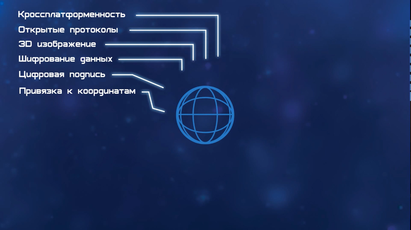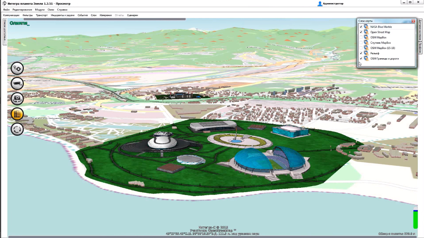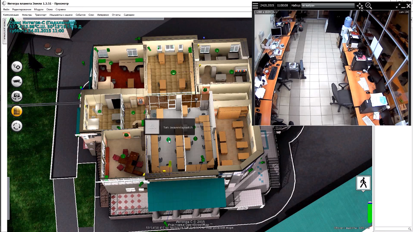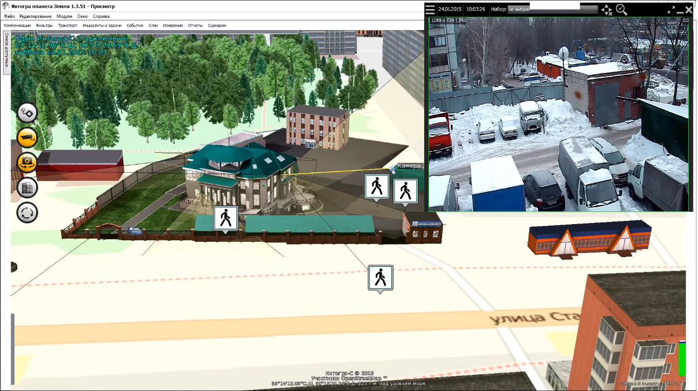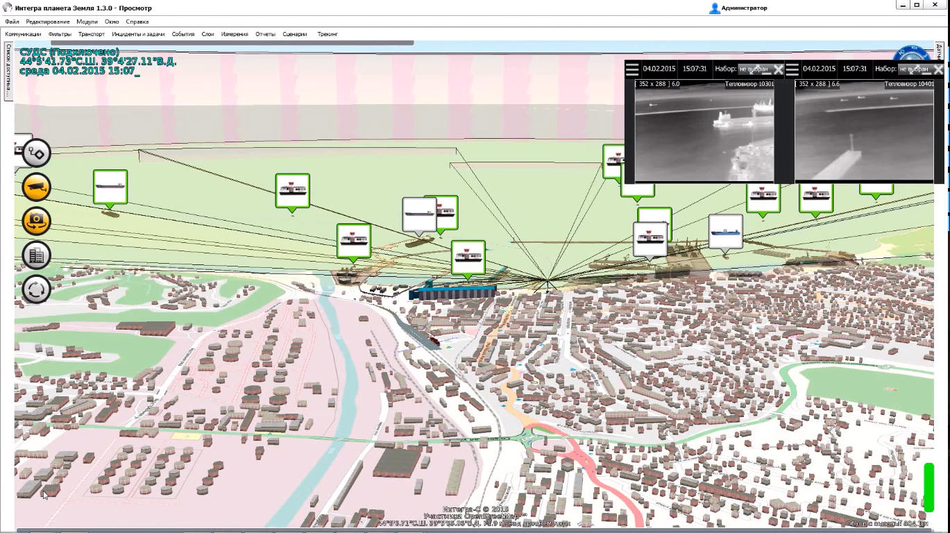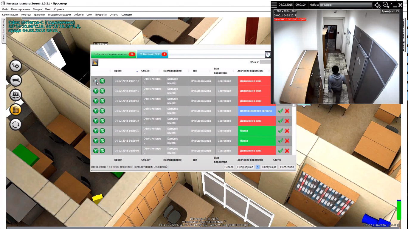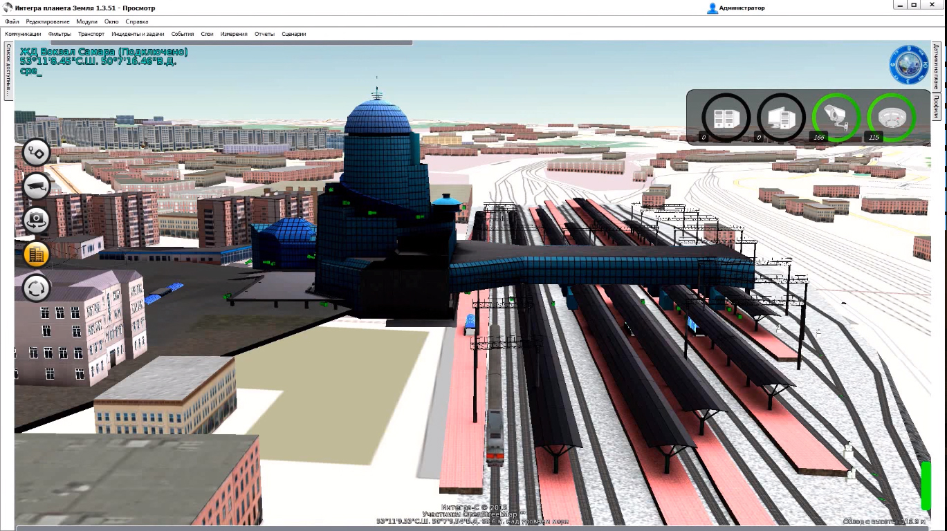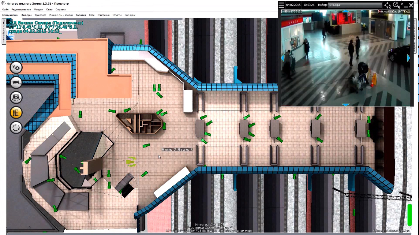
The video surveillance system allows you to monitor the status of the object in real time. The operator can control the cameras remotely, or configure the system to react automatically to certain situations. The video signal is used not only to track the position on the object, but also to model a detailed 3D terrain model in the virtual space. At any one time, you can track any number of objects at any distance from each other. Data from other surveillance subsystems can be used to refine the video stream data.
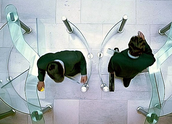
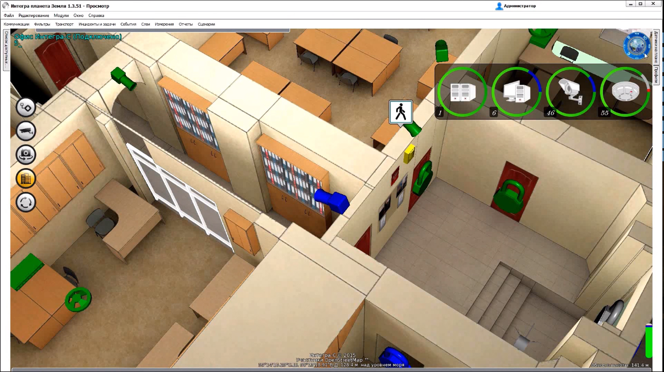
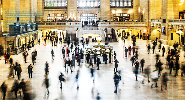
The system tracks activity at specified points of passage: gates, doors, checkpoints. The remote monitoring data can be used both for recording the entry-exit of people and transport units, as well as for remote control of individuals at any time of day. The state of the passage points can be adjusted at any time. Data on the input-output objects are recorded in a special journal for later analysis. The use of video surveillance allows not only to monitor the overall flow of personnel, but also to maintain a visitor database, identify individual personalities, and operate both monitoring cameras and gates in real time.
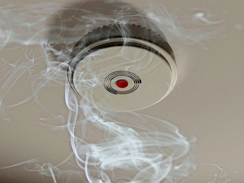
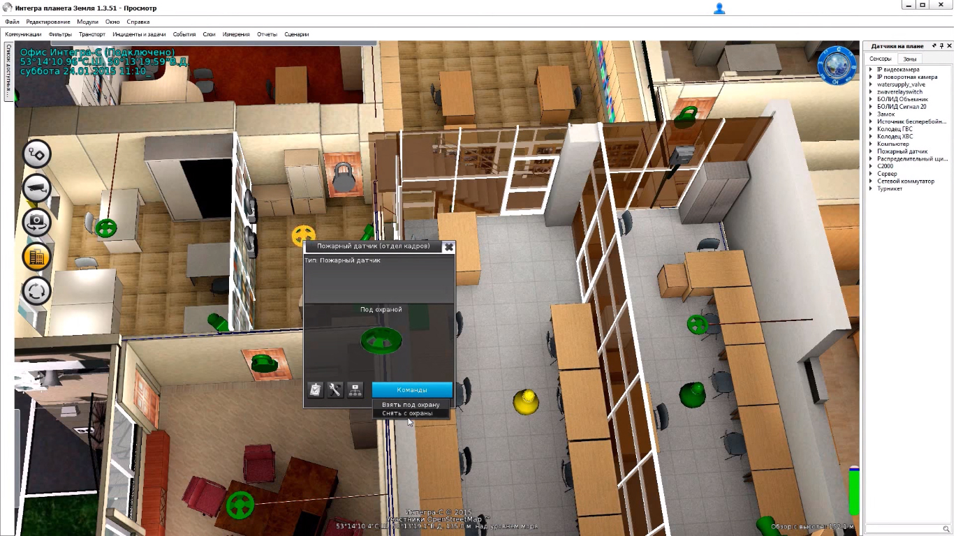
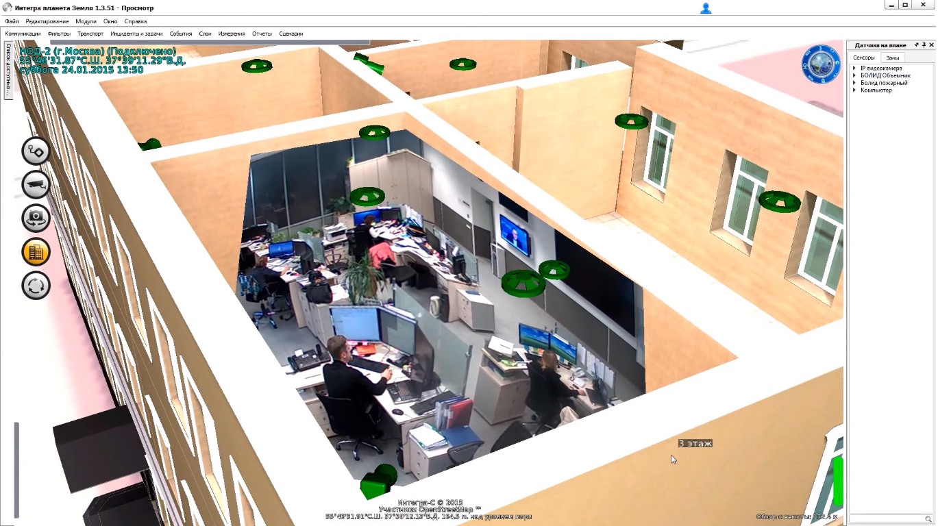
The fire and security alarm system monitors the fire situation on monitored sites around the clock. In the event of a fire hazard, the system responds by immediate activation of automatic fire extinguishing devices and smoke protection installations. Information about the incident can be transmitted to both the checkpoint and the relevant services. Simultaneously with the signal transmission, people are evacuated from the territory of the facility. OPS monitors the serviceability of fire fighting equipment in automatic mode, preventing the emergence of hazardous situations for human health.
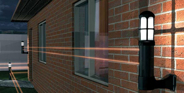
On the perimeter of the facility are installed technical means, fixing unauthorized penetration into the territory in a way inconspicuous for the intruder. Integration with the rest of the subsystems allows you to get the maximum signal for breaking boundaries as quickly as possible. The alarm rises immediately, so that the offender does not have time to overcome the mechanical obstacle (fence, fence, etc.). The system is designed taking into account the characteristics of human behavior. False positives are excluded: the protection reacts only if the invisible border is attempted to cross in the wrong place.
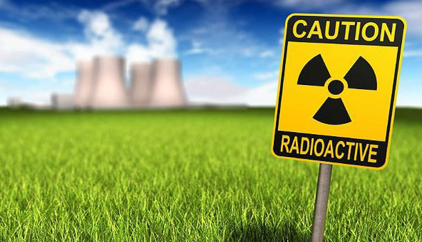
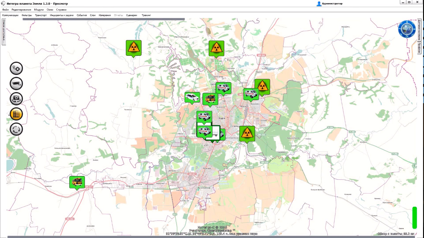
Protection against radiation is tuned in accordance with the expected (probable) radiation threat to the facility. The complex of sensors is able to monitor any changes in radiation indicators, transmitting data for analysis in real time. A system can be installed and configured to lock certain zones of an object when a hazardous situation occurs. The complex of safety devices is almost completely automated and requires minimal user involvement to activate protective mechanisms. This is especially important in conditions that require immediate evacuation of personnel.

Tracking equipment independently detects the occurrence of a chemical accident and notifies the substation about it, simultaneously initiating the evacuation process. Special sensors can record changes in chemical installation on the territory of the accident. Decontamination and quarantine of the contaminated site, elimination of the consequences of the accident, operational sanitation - most standard procedures in case of an industrial accident can be started automatically. The system is protected from false positives. Information on the status of the infected object is continuously entered into the database for further analysis.
In the event of an emergency or circumstances that allow for the probability of emergency, a signal with complete information about the situation is transmitted through pre-configured channels. The notification system can serve not only officials who control the state of the facility, but also state security agencies, as well as civil defense forces. The information varies depending on the addressee. The complex can be used for automated notification of the population about emergency situations and the need for urgent evacuation, as well as for the transmission of any other automatic messages.
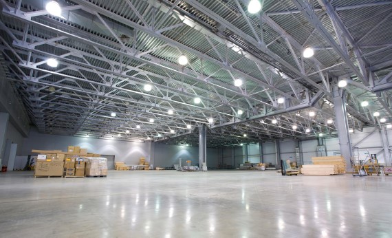
Intelligent sensors monitor movement, light level in the room and other indicators, allowing you to control the lighting of the object in automatic mode. Remote control of illumination is also possible with the help of convenient management tools. The system optimizes standard user interfaces, providing the most simple control of power consumption. High-tech lighting solutions allow you to reduce monthly electricity costs, while improving the overall comfort of employees and visitors to the monitored facility.
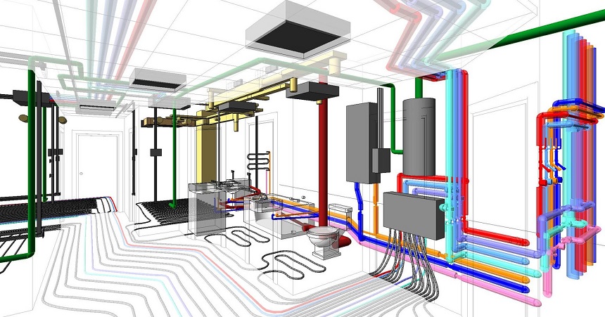
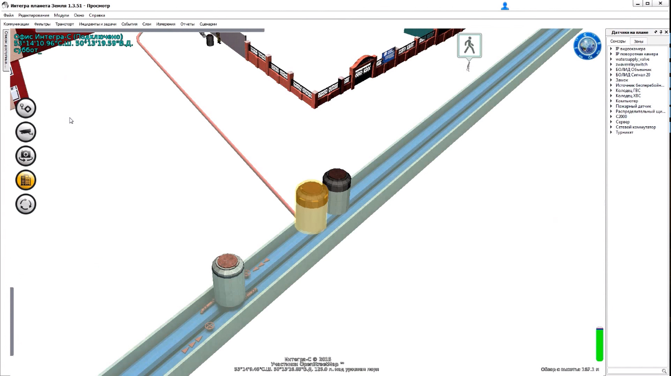
The system monitors the status of all engineering networks in automatic mode. Signals about critical errors in the operation of the equipment come in real time. Thus, any faults in the heating system, problems with water and tap water, ventilation blockage, faults in the air conditioning system, etc. Are discovered before they cause serious losses. The system allows not only to monitor the current data systems engineering, but also to manage individual elements at a distance. This allows for emergency response to be taken immediately after the violation is detected.
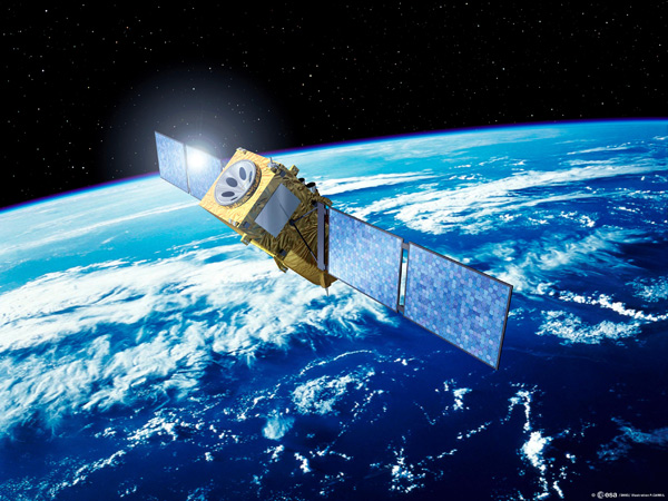
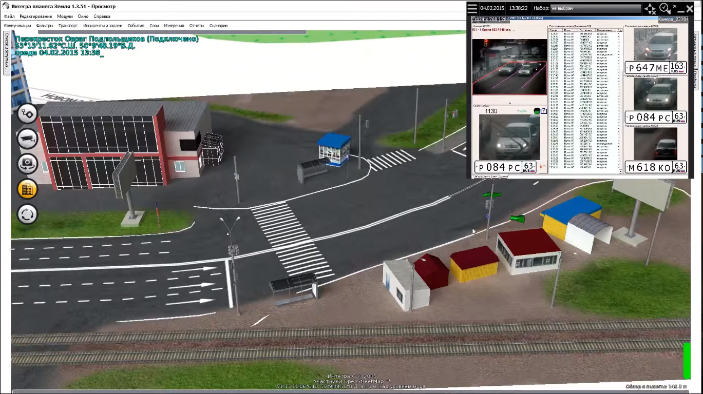
The service works with both global satellite navigation systems. To detect and control the movement of an object, signals from both systems are captured and analyzed at a time. Thanks to this, the level of accuracy is significantly increased - from 1.5 to 3 meters. The data of satellite systems can be used both for visualization of movement of transport on territory in a mode of real time, and for formation of a database. With the help of satellite systems, you can monitor not only the movement of transport units, but also fuel consumption, high-speed mode, driver safety, etc.
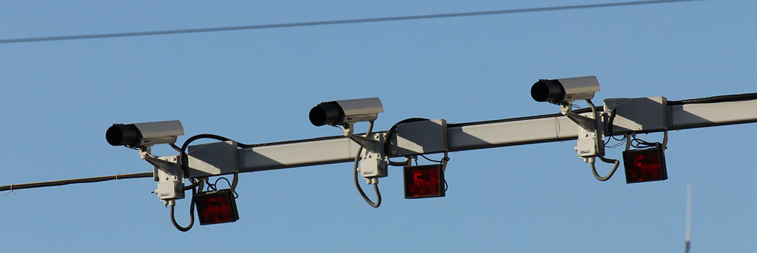
In automatic mode, violations of traffic rules are monitored in controlled areas. With the help of special sensors and signals from video cameras it is possible to fix with an impeccable accuracy the excess of the speed regime, determine the average flow rate and even monitor the observance of the traffic rules regulated by traffic lights. The system saves complete data on the violation, greatly facilitating control over the traffic situation. The data of each car is calculated separately, even at maximum traffic density, as well as on routes consisting of several differently directed flows.
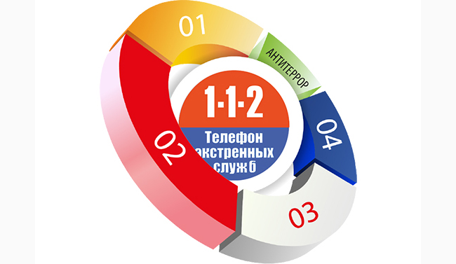
In the event of an emergency, emergency services are immediately informed of the incident by the emergency number "112". Together with the call containing a request for assistance, comprehensive information is provided on the state of emergency. The use of an automatic system for calling operational services reduces both the threat to public health and the material damage caused by emergencies. The system automatically responds with a request for help in response to all common dangerous situations: fire, chemical accident, unauthorized entry into the territory, etc., with full details of the incident recorded in the database.